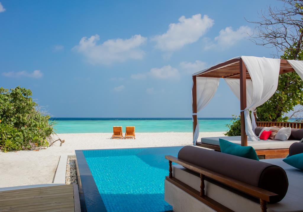
Common description
An island nation in the Indian Ocean off the south coast of India, from which it is separated by the Manar Strait and the Polk Strait. The area of the country is 65610 sq. Km. The main topographic feature of Sri Lanka is a mountain range in the central part of the country. There is the highest point - Mount Pidurutalagala (2524 m). However, the most famous majestic Adam's Peak (2243 m). Nearby are two plains with a cool, healthy climate.
The famous Ceylon tea is grown in the valleys. The country's rivers are short and fairly fast. The longest river, the Mahaveli Ganges, flows into the Indian Ocean near the town of Trincomalee, among other rivers are Kelani, Kalu and Aruvim-Aru.
ahead of Kiev for 3 hours 30 minutes
The famous Ceylon tea is grown in the valleys. The country's rivers are short and fairly fast. The longest river, the Mahaveli Ganges, flows into the Indian Ocean near the town of Trincomalee, among other rivers are Kelani, Kalu and Aruvim-Aru.
ahead of Kiev for 3 hours 30 minutes
Information about visa
For tourists arriving for up to 30 days, a visa is not required. You must have a valid passport for 6 months and a return ticket.
Сlimate
Sri Lanka is located in the tropics and is protected by a powerful mountain range from the north winds. The climate here is hot, the average annual temperature in most areas is from +25 to +30 degrees C, except for mountainous areas, where it drops to +10 in winter. The best time for swimming in the seaside resorts of the southwest coast of Sri Lanka lasts from October to April. Western monsoon season - from May to July, in November - December, light rains are possible. The average water temperature is 26 degrees
Currency
Currency Sri Lankan Rupee LKR = 100 cents. The exchange rate is about 110 rupees for 1 USD.


.gif)